
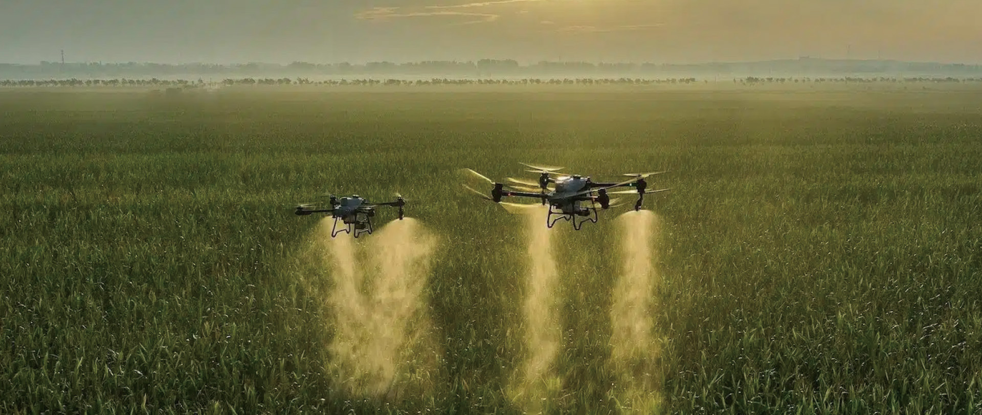
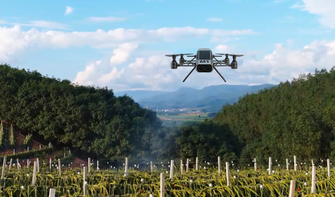
Drones can achieve automatic and quantitative spraying of pesticides,with an efficiency 30 times higher than that of traditional manual spraying.
They can also save 30% of pesticides and 90% of water usage, reducing pollution to the soil and the environment.
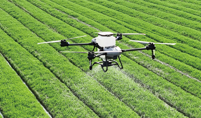
Drones can precisely apply fertilizers, ensuring a uniform distribution of the nutrients and reducing fertilizer waste, thereby increasing crop yields.
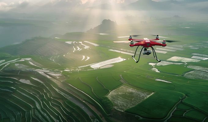
Drones can carry out sowing operations in inaccessible terrains (such as hills and paddy fields), with strong adaptability and the ability to enhance sowing efficiency
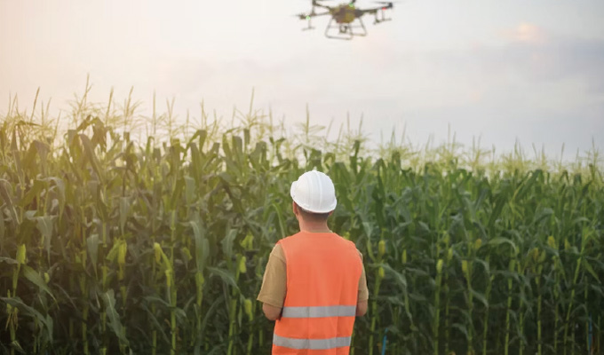
Drones can monitor changes in soil moisture levels, helping farmers carry out scientific irrigation and saving water resources.
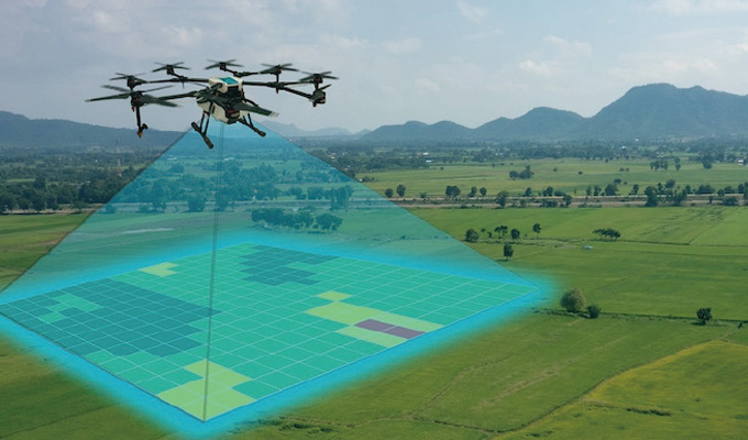
By equipping with high-definition cameras and sensors, drones can monitor the growth conditions of crops, soil moisture levels and pest and disease situations in real time, helping farmers make timely decisions
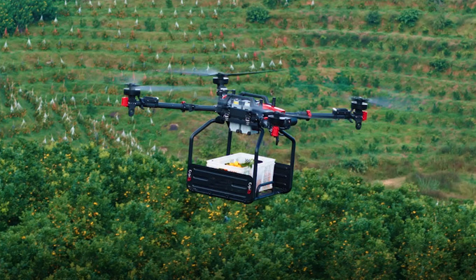
The application of new technologies enables drones to lift and transport fruits, significantly enhancing transportation efficiency. Especially on steep slopes, it reduces labor costs and safety risks
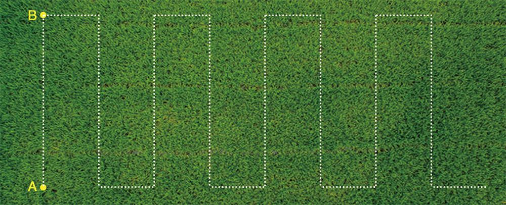
In A-B point operation mode, farmers can set point A and B as the apex of the working area, and control the flying direction manually. Then the aircraft will automatically spray in accordance with the established route. When there is no medicine in the medicine box, the aircraft will hover at a fixed point and record it. After fulfilling the medicament, the aircraft will fly back to the point where it stopped and continues its work. This mode is more suitable for working in a regular large area.
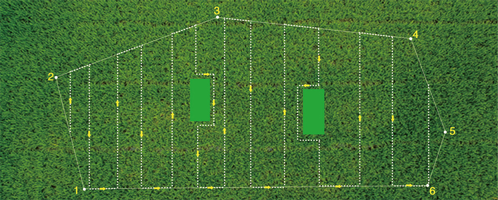
Automatical map planning operation mode, farmers can operate the working area through the phone's APP map. This mode is mainly used for complex fields. To select the multi-point and multilateral planning of the field to operate, and it can automatically create the route. If there are obstacles in the work area, you can set this area as avoidance place and the aircraft will pass it automatically.
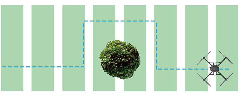
During the flight, through the drone's real-time frontscanning of the obstacle avoidance radar, you canobserve the direction and distance of the obstacle infront of it. When the obstacle came in the warningarea, the drone will automatically stop and record theinterrupted coordinate points. Then you can controlthe drone to bypass obstacles through your remotecontrol. After then drone can automatically return tothe designated route recording point and continueworking
