

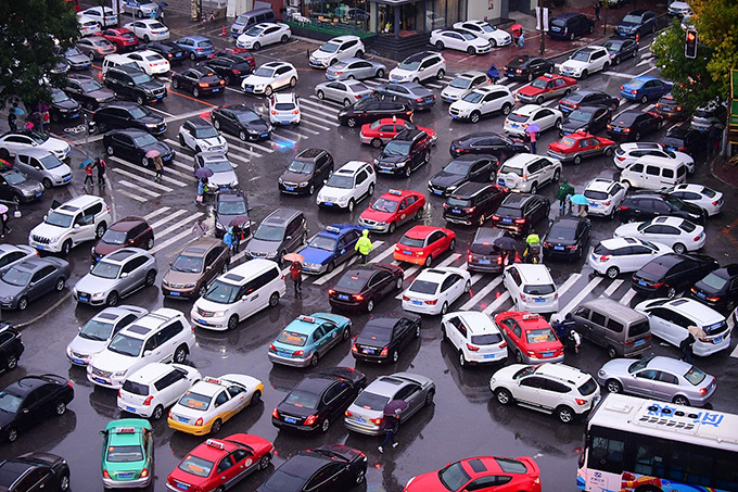
Drones can monitor traffic conditions in real time from the air, promptly detect traffic congestion and accidents, and provide a macroscopic perspective for traffic management.
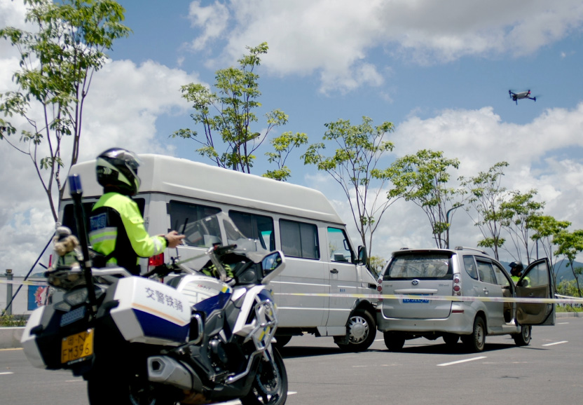
In the event of a traffic accident, drones can quickly arrive at the scene, conduct real-time monitoring and command, and assist in the rapid handling of the incident.
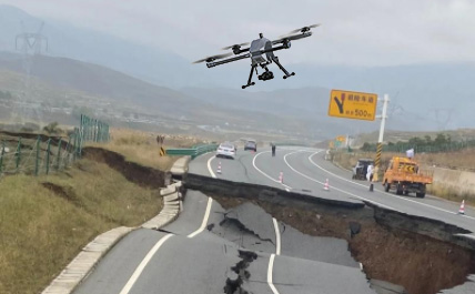
Drones can conduct high-precision inspections of road surfaces, guardrails, etc., promptly detect and record damage situations, and ensure road safety.
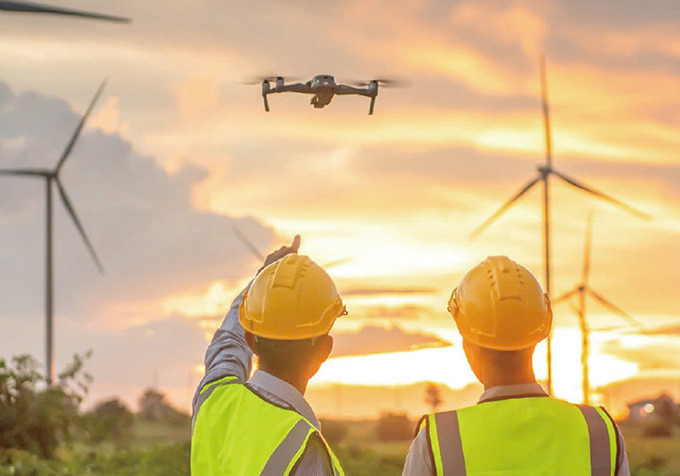
In emergency situations, drones can quickly reach the scene, conduct monitoring and command, thereby enhancing the emergency response capability
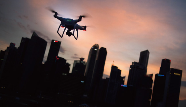
By carrying sensors and cameras, unmanned aerial vehicles can collect real-time traffic data, analyze traffic flow and identify traffic violations.
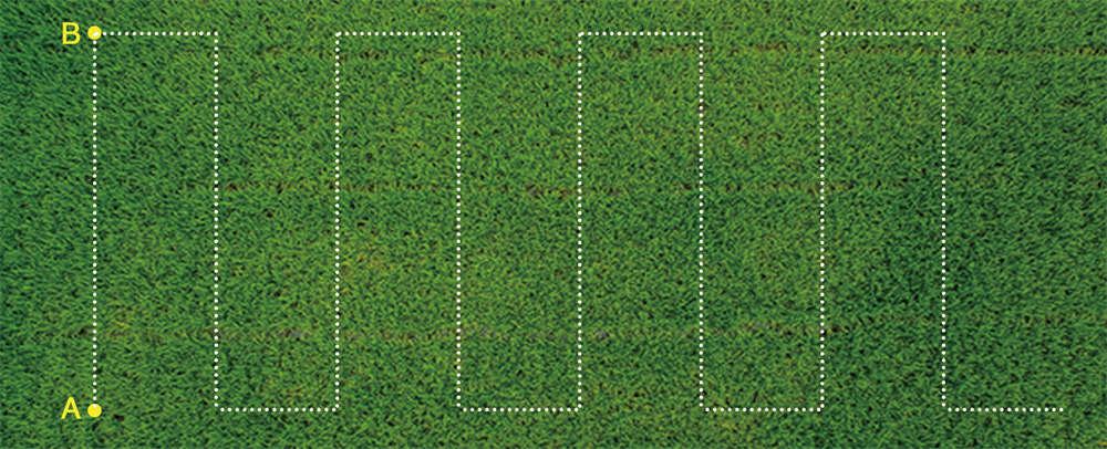
In A-B point operation mode, farmers can set point A and B as the apex of the working area, and control the flying direction manually. Then the aircraft will automatically spray in accordance with the established route. When there is no medicine in the medicine box, the aircraft will hover at a fixed point and record it. After fulfilling the medicament, the aircraft will fly back to the point where it stopped and continues its work. This mode is more suitable for working in a regular large area.
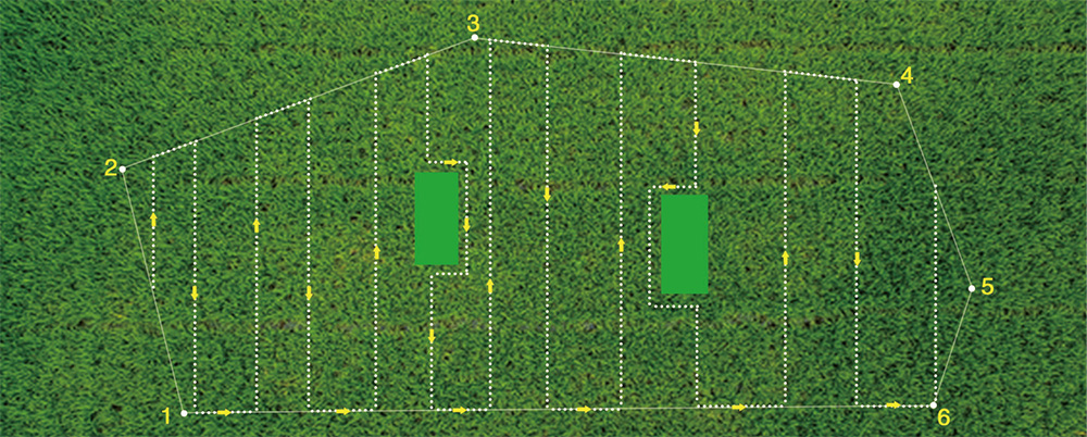
Automatical map planning operation mode, farmers can operate the working area through the phone's APP map. This mode is mainly used for complex fields. To select the multi-point and multilateral planning of the field to operate, and it can automatically create the route. If there are obstacles in the work area, you can set this area as avoidance place and the aircraft will pass it automatically.
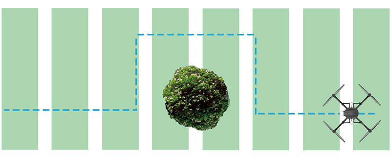
During the flight, through the drone's real-time frontscanning of the obstacle avoidance radar, you canobserve the direction and distance of the obstacle infront of it. When the obstacle came in the warningarea, the drone will automatically stop and record theinterrupted coordinate points. Then you can controlthe drone to bypass obstacles through your remotecontrol. After then drone can automatically return tothe designated route recording point and continueworking
