
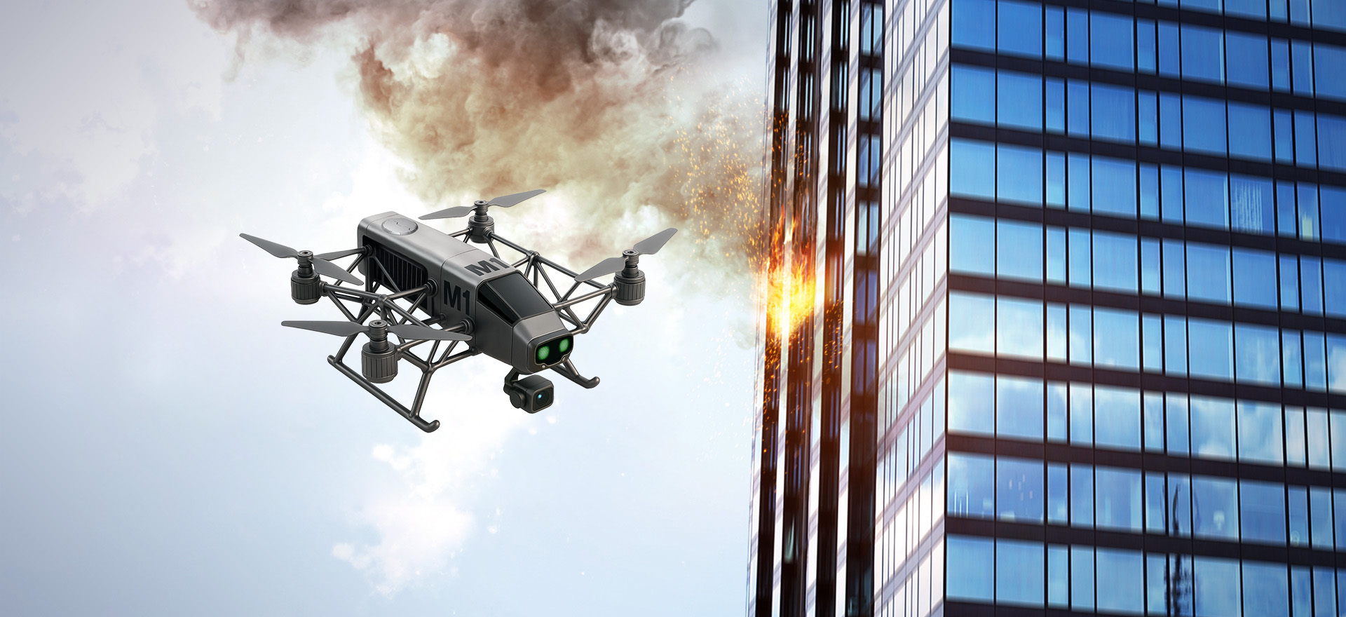
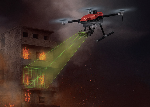
Drones can conduct real-time reconnaissance of fire scenes by carrying devices such as infrared thermal imagers, high-definition cameras and gas analyzers. They can collect information such as temperature, smoke and fire intensity, helping the command center to grasp the fire situation in real time and make quick decisions. In cases where communication is disrupted, drones can also act as an "air base station" to provide stable communication support.
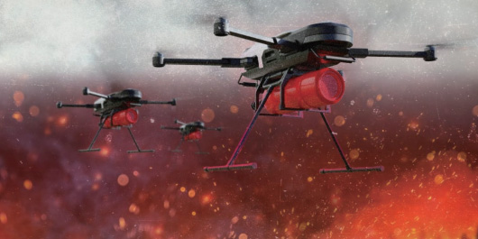
The fire-extinguishing capabilities of unmanned aircraft are constantly improving, enabling them to extinguish fires in hard-to-reach areas such as high-rise buildings. They can carry fire-extinguishing agents (such as water, foam, dry powder, etc.) and directly spray them onto the fire source, quickly controlling the fire.
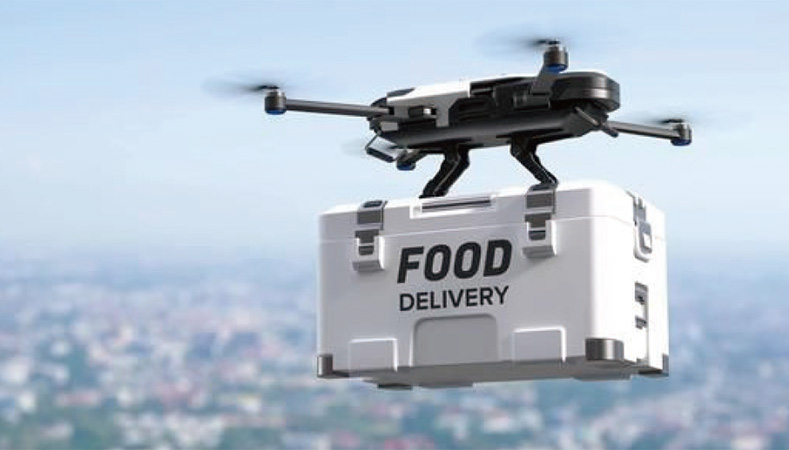
Drones can deliver rescue supplies such as breathing masks, food, medicine and life jackets to the fire scene, increasing the chances of survival for those trapped. This capability enables drones to provide support quickly in emergency situations, ensuring the safety of the trapped individuals.
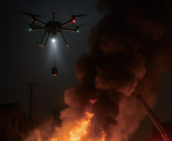
Drones can provide various forms of support during rescue operations, such as lighting, communication and material delivery. They can conduct search and rescue operations at night, offering continuous lighting assistance and helping firefighters carry out rescue work more effectively. Moreover, drones can directly suppress the fire by releasing fire suppression bombs, thereby enhancing the efficiency of firefighting.
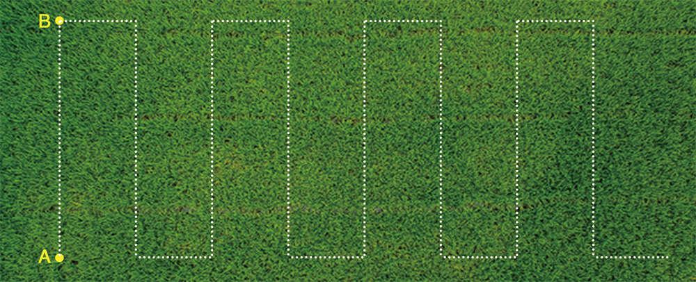
In A-B point operation mode, farmers can set point A and B as the apex of the working area, and control the flying direction manually. Then the aircraft will automatically spray in accordance with the established route. When there is no medicine in the medicine box, the aircraft will hover at a fixed point and record it. After fulfilling the medicament, the aircraft will fly back to the point where it stopped and continues its work. This mode is more suitable for working in a regular large area.
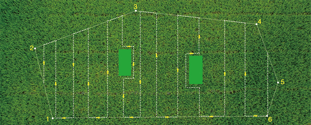
Automatical map planning operation mode, farmers can operate the working area through the phone's APP map. This mode is mainly used for complex fields. To select the multi-point and multilateral planning of the field to operate, and it can automatically create the route. If there are obstacles in the work area, you can set this area as avoidance place and the aircraft will pass it automatically.
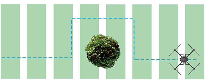
During the flight, through the drone's real-time frontscanning of the obstacle avoidance radar, you canobserve the direction and distance of the obstacle infront of it. When the obstacle came in the warningarea, the drone will automatically stop and record theinterrupted coordinate points. Then you can controlthe drone to bypass obstacles through your remotecontrol. After then drone can automatically return tothe designated route recording point and continueworking
